Part of the Food Policy Snapshot Series
Policy name: Waze app updates
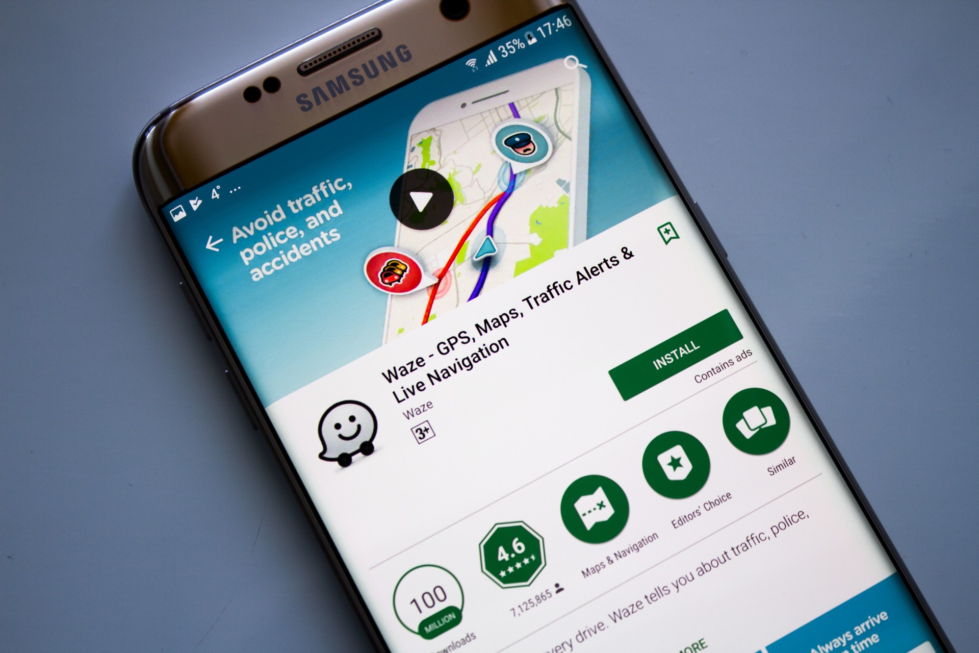
Overview: The navigation app Waze is providing additional information on its maps, including emergency food distribution sites, medical testing centers, quarantine-related road closures,and reminders about official government guidance.
Location: Worldwide
Population: More than 115 million users
Food policy category: Food security; food access; preventative health care
Program goals: To support those in need of food or medical care, and to slow the spread of COVID-19.
How it works: The Waze navigation app provides real-time information for drivers, including traffic updates, road closures, and speed traps, using input from other drivers. Waze now has a crisis response team that is partnering with volunteer map editors (i.e. other app users), local governments, and the nonprofits No Kid Hungry and WhyHunger to update maps in 58 countries with data related to COVID-19. Governments may provide information about road closures, parking restrictions, or other quarantine guidance through the Waze website.
Waze has also added Location Personality badges so that businesses can indicate if they are offering drive-through or curbside services.
Progress to date: As of April 15, 2020, Waze had added more than 30,000 food distribution sites in the United States, and more than 450 medical testing sites worldwide.
Why it is important: During this time of global pandemic, people worldwide are being encouraged to stay home and avoid social contact. In addition, in the United States alone, 22 million individuals have filed for unemployment status and are facing economic hardships.
Accessing food, which is a basic necessity, usually requires leaving the house, but now that comes with risks of exposure to COVID-19. Waze is helping to mitigate those risks by providing users with local data on where they can access food (and other services) without entering a public building. Perhaps more importantly, those who cannot afford to buy their own food at this time can use the app to locate emergency food distribution sites in their community.
In addition, COVID-19 testing sites may be difficult to find, so Waze has made it easier to access this essential information.
Program/Policy initiated: Waze began updating its maps with COVID-19 resources in April 2020.
Point of contact:
Waze Crisis Response Team
waze-crisis@google.com
Similar practices:
- Google Maps shows food distribution sites and shelters in India during the pandemic.
- In the US, Google Maps now highlights nearby restaurants offering take-out or delivery.
- Apple Maps has started showing COVID-19 testing sites.
- Several US locales have created their own maps with emergency food distribution sites, including Santa Clara, CA; Baltimore, MD; and Allegheny County, PA.
Evaluation: The additions to the app have not yet been evaluated.
Learn more:
- What to Know About NYC’s $170M Grocery and Food Plan During the Coronavirus Crisis (Eater NY)
- Working Together to Help Communities Navigate COVID-19 (Medium)
- World Hunger Could Double as Coronavirus Disrupts Food Supplies (Bloomberg)
References:
- Add Location Personality Badges (Google)
- City Releases Map of Food Distribution Sites Accessible During Coronavirus Pandemic (Baltimore Fishbowl)
- Coronavirus (COVID-19) (Centers for Disease Control and Prevention)
- Coronavirus Food Distribution: Map Unveiled To Connect Santa Clara County Families To Meals (CBS SF Bay Area)
- Coronavirus Lockdown: This is How You Can Use Google Maps to Help People Find Free Food, Shelter in Delhi (India Times)
- Coronavirus: Map of Food Resources Available in Allegheny County (WPXI News)
- Google Maps Has Another New Feature to Help During Coronavirus Lockdown (BGR)
- How to Find Coronavirus Testing Locations Near You with Apple Maps (CNET)
- Keeping Waze Updated During the COVID-19 Outbreak (Waze)
- ‘Nowhere to Hide’ as Unemployment Permeates the Economy (New York Times)
- Testing for COVID-19 (Centers for Disease Control and Prevention)
- Waze Community Deploys Data To Aid The Global Fight Against COVID-19 (Forbes)
- Waze Helps You Locate Food Pantries as well as Drive-Thrus and Curbside Pickups (The Spoon)
- Waze Now Shows Emergency Food Centers, Coronavirus Testing Sites (Mashable)
- Waze Pivots to Help You Locate Coronavirus Testing, Emergency Food Distribution (CNET)


